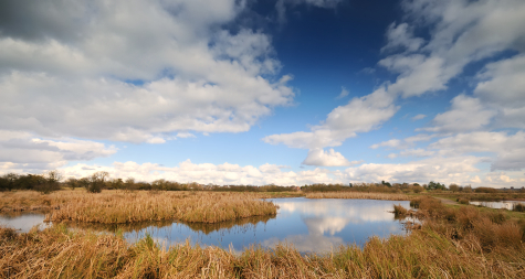
In addition to the more typical ecological consultancy services such as protected species surveys and Ecological Impact Assessment (EcIA), Five Valleys Ecology provides a full wetland ecology and design service.

We have a proven track record of partnership working with a wide of clients from Non-Governmental organisations (NGOs) to large public sector bodies, on wetland creation, and wetland restoration or enhancement projects. Our team are highly skilled in liaison with landowners and other stakeholders.
We have worked on projects ranging from individual ponds for wildfowl, to large-scale projects comprising the creation of a mosaic of different wetland habitat types within nationally and internationally designated sites. We have experience of wetland treatment system (WTS) design for the management of surface water, and treatment of a range of different effluents (including wastewater, industrial and agricultural effluents) to discharge consent standards.

We can undertake feasibility studies during the initial stages of a project, as well as fully costed concept and detailed designs at the appropriate stage during the life cycle of a project. A set of design parameters is agreed with each client, and are informed by a suitable scope of background work. This ensures that the project meets the aspirations and objectives of the client team. It also ensures the correct functioning of the wetland, and that any ecological constraints (or other major constraints) that may be present are identified and addressed. The scope of work is also designed to provide the required information to enable determination of any planning permissions and relevant consents, should these be required.
A typical scope of work includes ecology surveys, soil surveys, topographic surveys and hydrological surveys which are undertaken by our team of in-house specialists and associates. Published guidance on the eco-hydrological requirements of the key wetland habitats is used with local rainfall and evapotranspiration data to ensure the appropriate hydrological regimes for the target habitats and species.
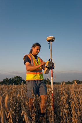
Global Positioning System (GPS) technology is used during site survey to ensure that data is captured with accurate georeferencing. Geographic Information Systems (GIS) are utilised extensively during the wetland design stages. GIS is also used to analyse ecological data, identify potential impacts and produce mitigation designs, where these are necessary.
All our designs are Construction (Design and Management) Regulations 2007 (CDM Regulations) compliant. Risk management measures are typically presented in the form of a CDM Design Risk Assessment.
We have good working relationships with several specialist contractors experienced in wetland creation, restoration and enhancement projects, and can provide full site supervision during the construction stage.
For more information, or to obtain a free proposal, please contact us. We will be happy to provide you with honest and objective advice specific to your project based upon our extensive experience in wetland ecology and design.
